
Hiking
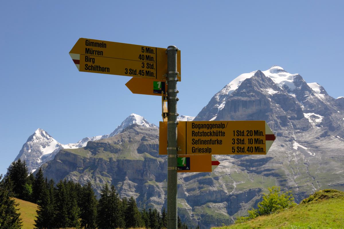
Top hiking trails
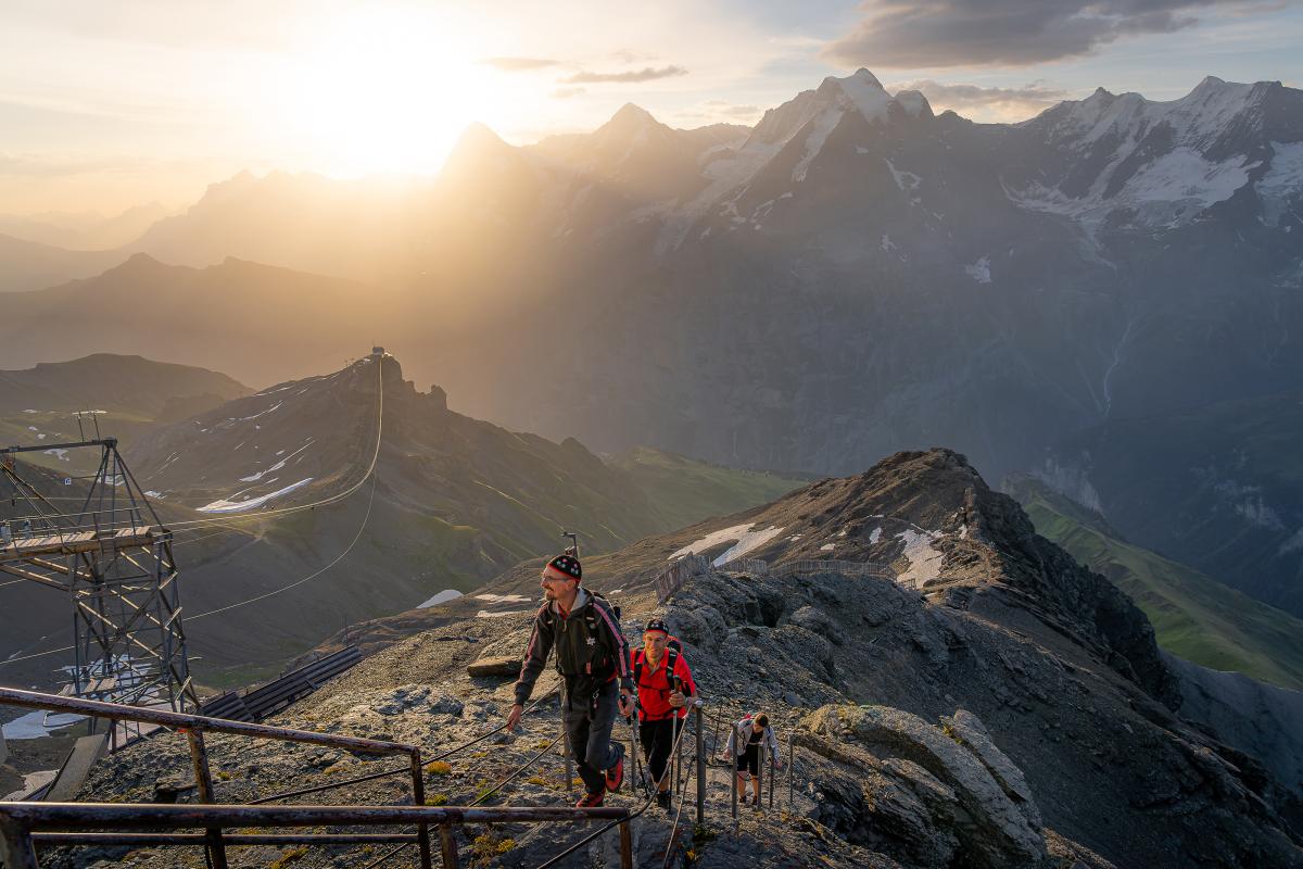
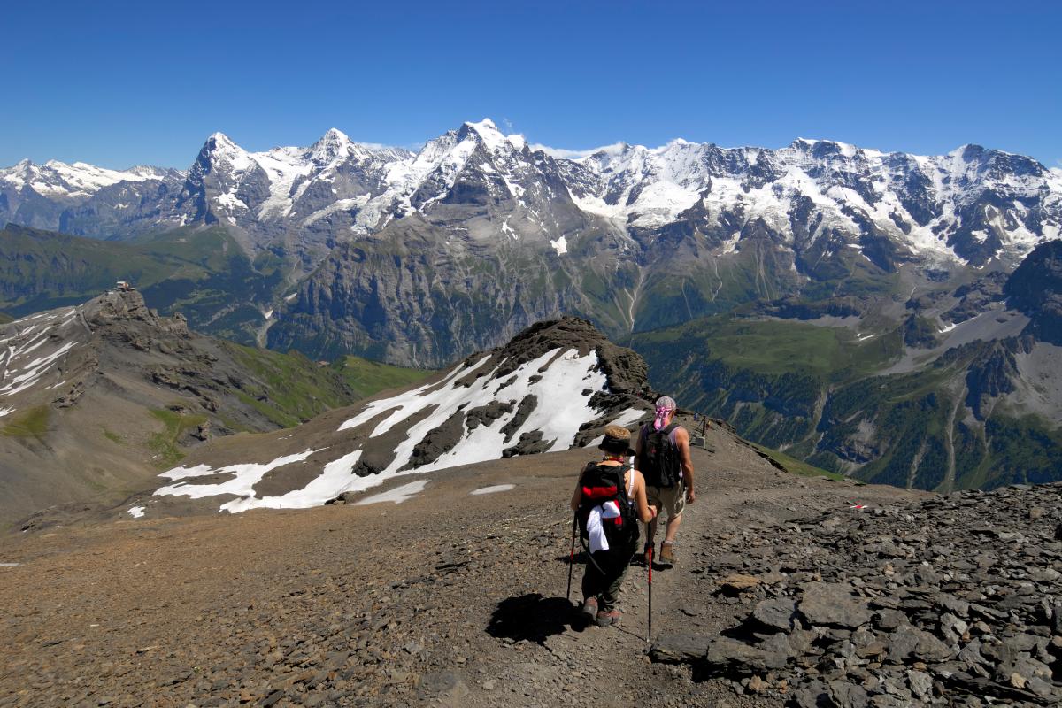
Summit ascent
The summit hike leads in an over 350-metre ascent from Birg to the summit. This challenging ascent rewards hikers with fantastic views of the stunning Alpine panorama.
Degree of difficulty: challenging, time 1.5 h
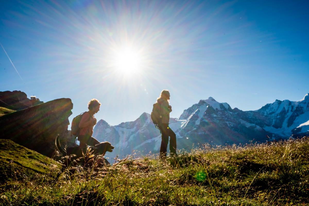
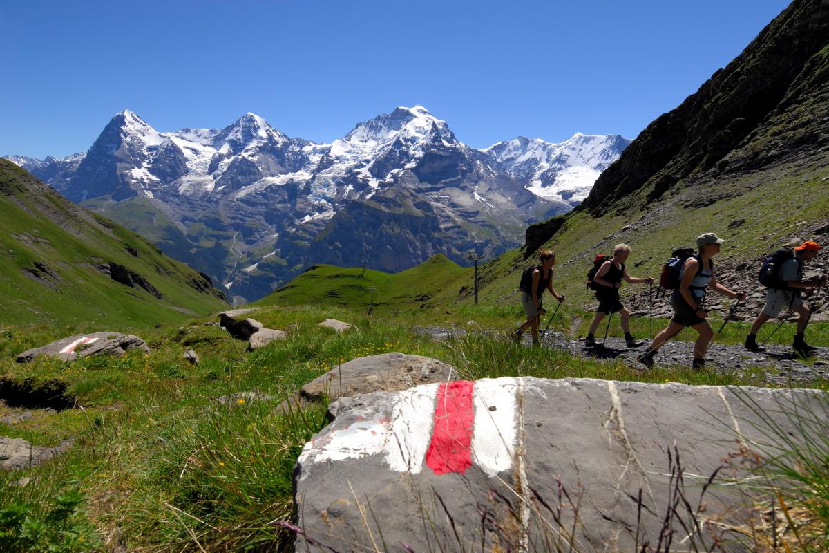
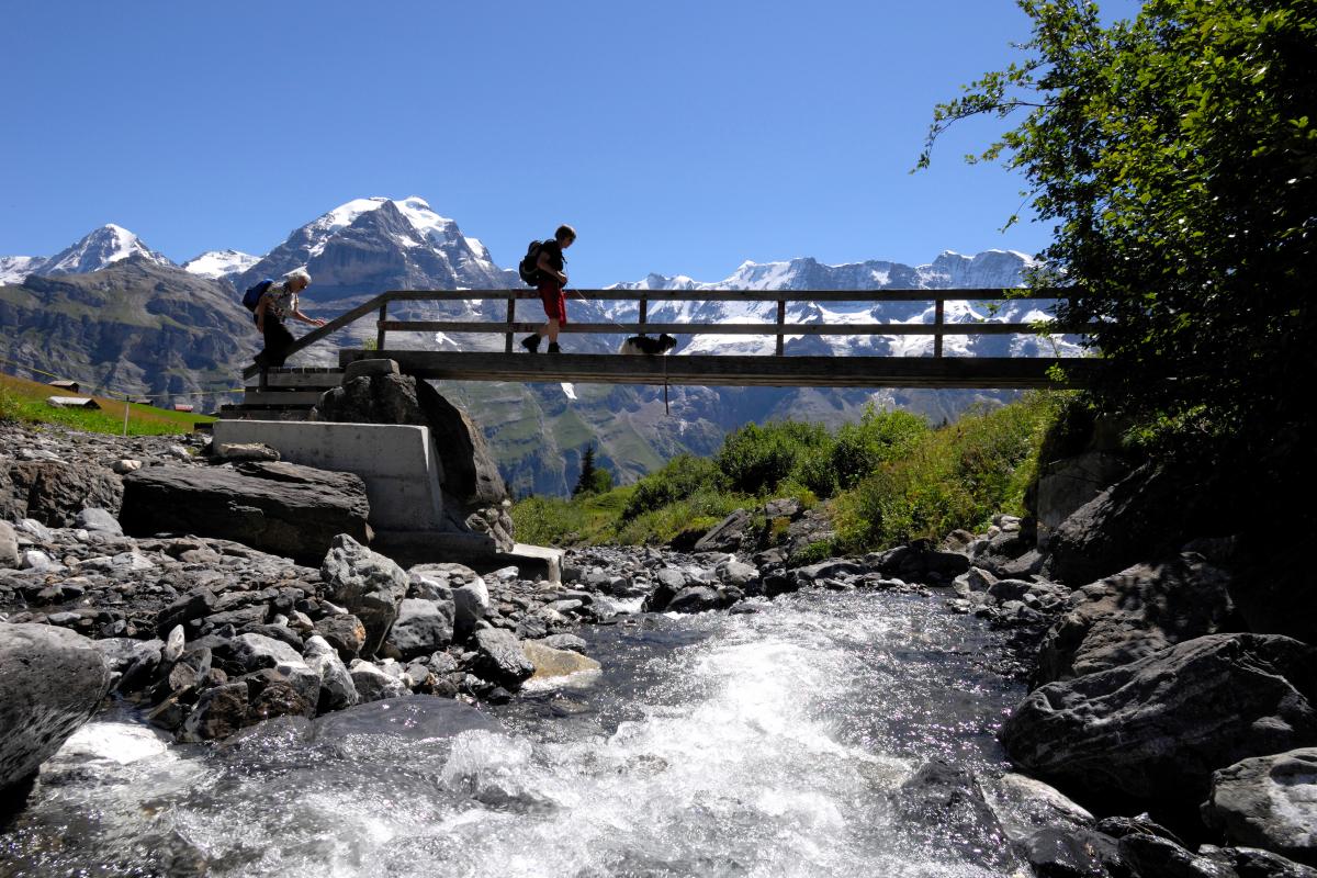
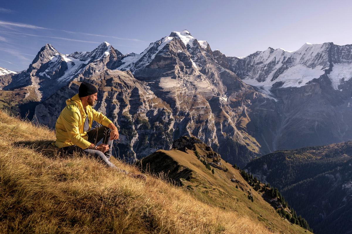
Northface Trail
The well-signposted Northface Trail presents no problems for walkers with appropriate footwear. Its outstanding feature is the breathtaking view of the impressive, often snow-capped north faces of the Bernese Alps. 12 information panels along the trail document the history of these mountains.
Degree of difficulty: medium, time: 2 h 30 min.
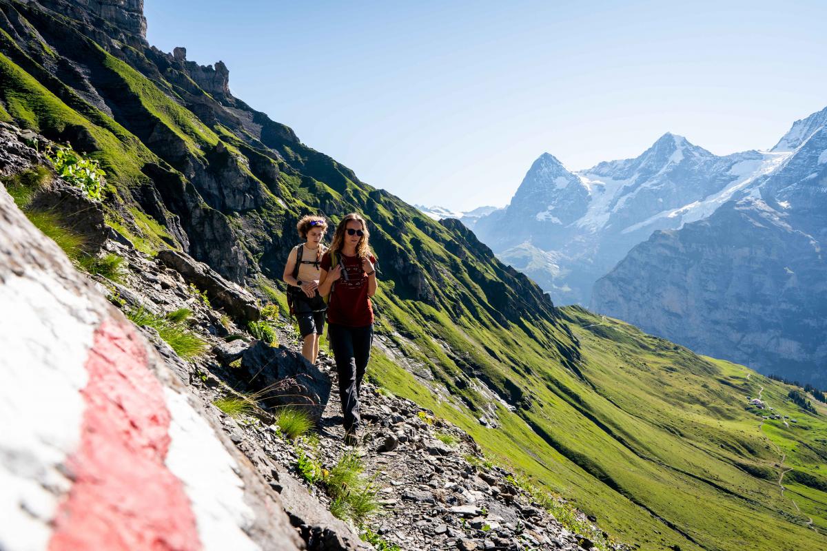
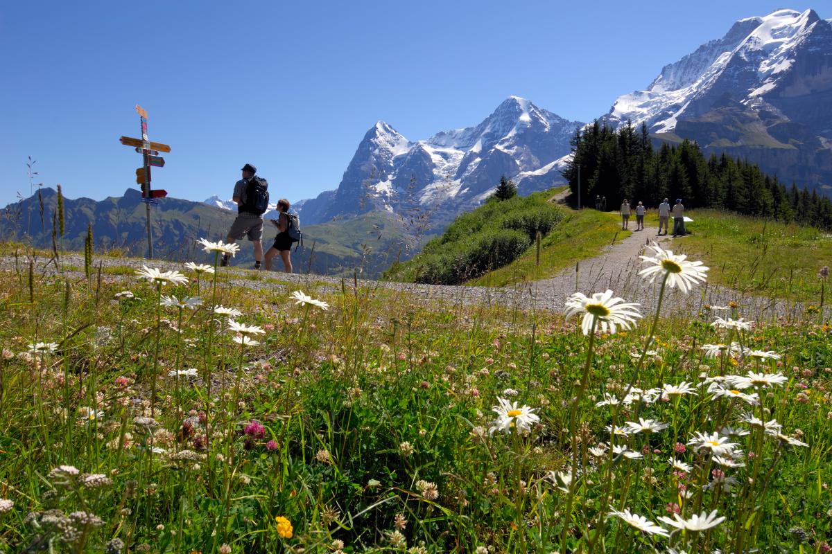
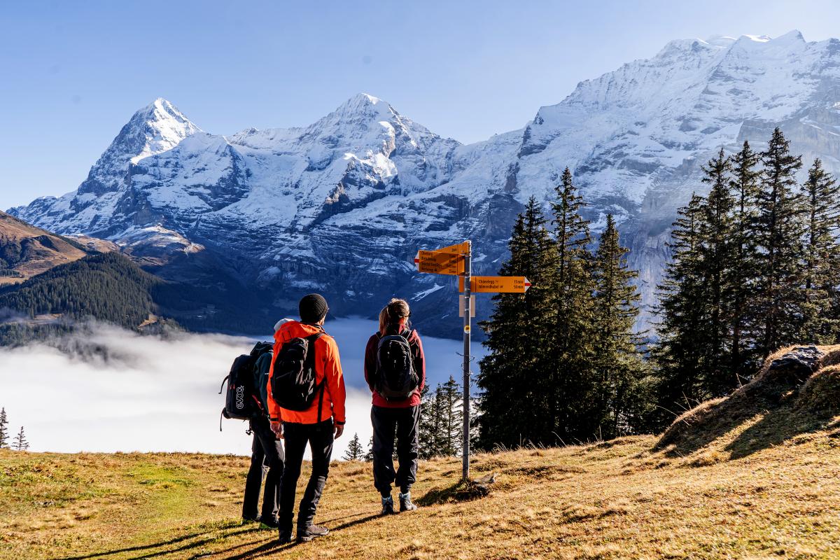
Mountain View Trail
This hike leads over alp meadows and through forests from the Allmendhubel to Grütschalp. Enjoy the best views of the mountains surrounding the Eiger, Mönch and Jungfrau peaks.
Degree of difficulty: medium, time: 2 h
Flower Trail
The botanical tour for young and old. This trail circles the Allmendhubel in around 20 minutes, on a wide path that is suitable for children‘s strollers. In summer, you can observe up to 150 different mountain flowers.
Degree of difficulty: easy, time: 20 min.
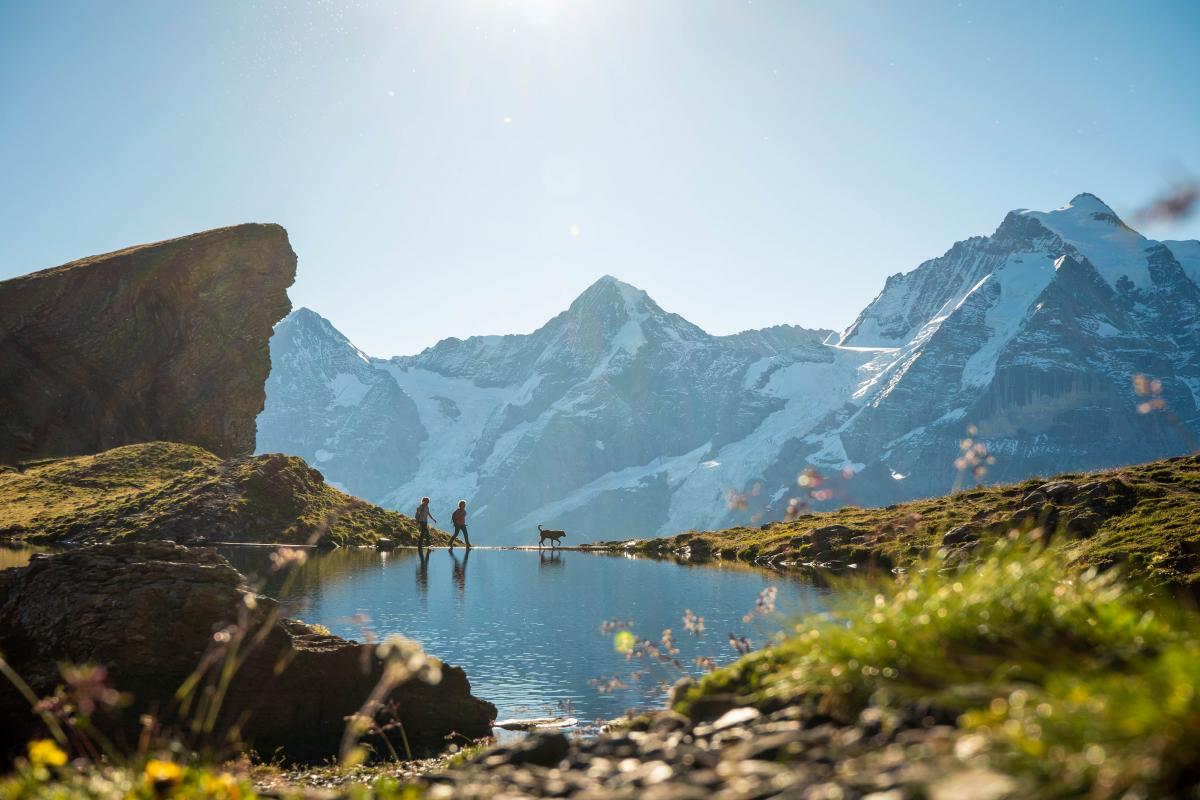
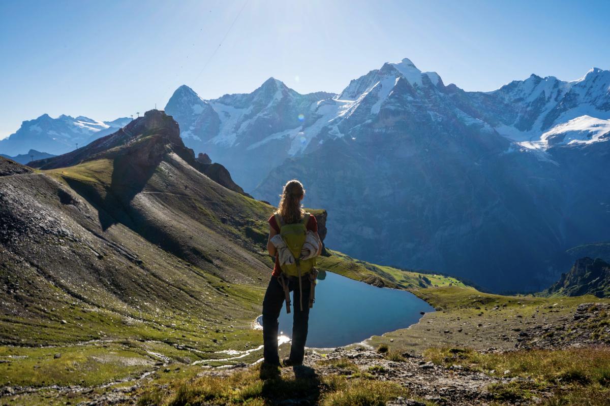
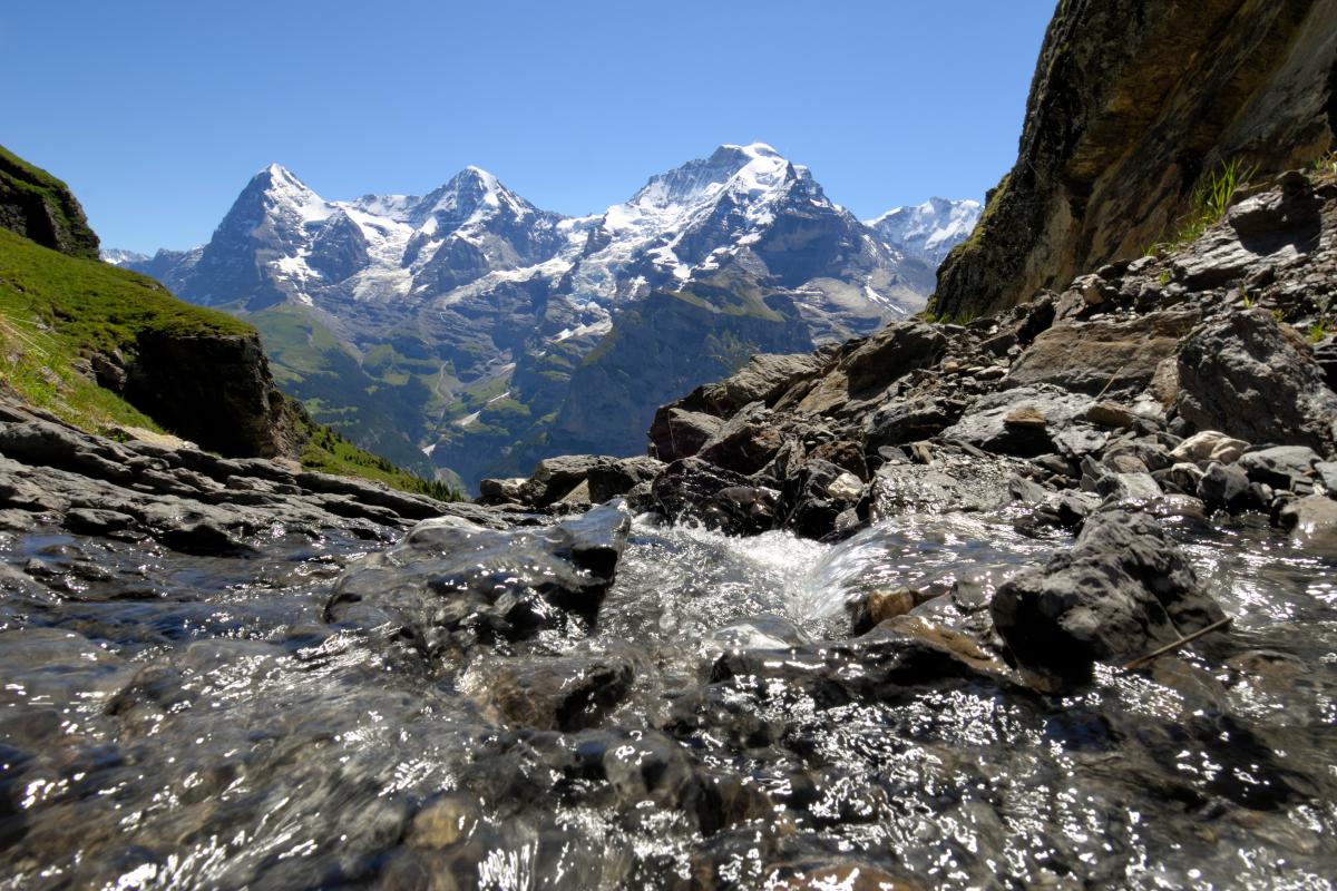
Birg – Grauseeli – Birg
This relatively easy hike takes you from Birg station over the Seewlifuhre down to Grauseeli. The scenic setting of the lake and the way its surface mirrors the mountains provide a fantastic photo opportunity in an unspoilt natural landscape.
Degree of difficulty: medium, time: 2 h
Blumental Panorama Trail
Starting at Mürren station, the trail leads past grazing cattle through the picture-pretty Blumental to the Allmendhubel. Undertaking this hike in the opposite direction is a little easier.
Degree of difficulty: easy, time: 1 h 15 min.
Gimmelwald – Tanzboden – Oberhornsee – Stechelberg
This long hike is very demanding, but your exertion will be rewarded with stunning views and the idyllically situated Oberhornsee. This tour is recommended for experienced hikers only!
Degree of difficulty: challenging, time: 8 h

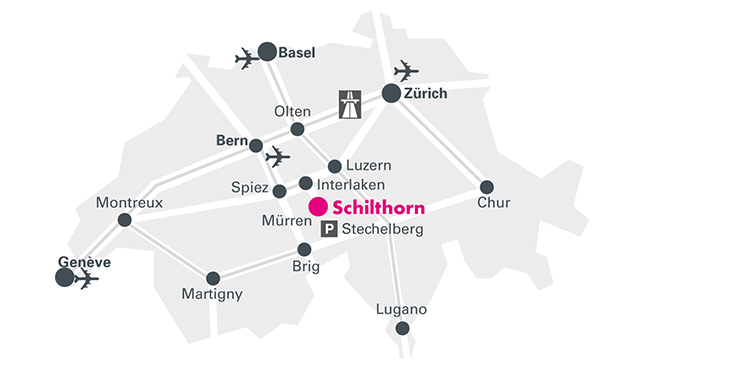
Schilthorn Cableway Ltd.
CH-3824 Stechelberg
Switzerland
+41 33 856 21 50
+41 33 826 00 07

 more information